Make a safer water plan
Check the forecast, water level and access rules before leaving. Wear a properly fitted life jacket, carry a way to call for help, and tell someone your route and return time.
Use your location, search anywhere, choose a map point, or return to a saved place.
Live following is off. Location access starts only when you choose it.
Maps and location search work worldwide. Weather observations cover the contiguous US; USGS monitoring and verified depth coverage vary. Location sets the context for your tools. You can override individual choices. Reports are shared only when you submit them; location alone does not identify the correct conservation authority.
Checking timestamped observations…
Checking water station…
Choose a location to tailor this tool.
LOCAL CONSERVATION NETWORK
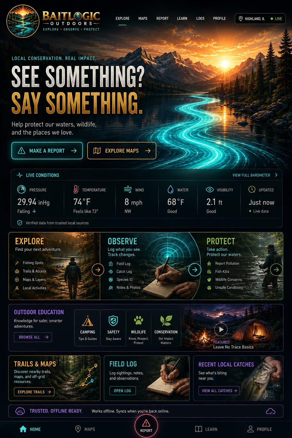
A community-driven platform for anglers, outdoor explorers, and conservation advocates. Report concerns, access water data, log catches, learn, and help protect our waterways for future generations.
Checking timestamped observations…
Water source: checking the selected USGS station…
View Full Water IntelligenceLakes, rivers, trails, access points & more.
Water levels, source data & observed conditions.
Log, view & share catches with weather & patterns.
Fishing tips, ID guides, habitat & conservation.
Connect, share photos, reports & local updates.
Protect our waters, wildlife & future anglers.
Choose a location. Check the source and timestamp.
Choose a location to tailor this tool.
Use GPS, search or a map point above, then find nearby USGS monitoring locations.
Readings load independently of the page.
Gauge height is relative to the station datum; it is not fishing depth. Station coverage varies. Readings may be provisional.
View official station data ↗Observed pressure, air temperature and wind from a nearby US weather station. Use your selected location or choose an area.
Choose an area to load observations.
Local forecasts and weather alerts ↗Remember your catches and the patterns behind them.
Choose a location to tailor this tool.
Catches save on this device immediately, even without a connection. Export a backup to keep them safe.
Explore your catch patterns ↗Public location rooms for local observations. Sign in to post; avoid private locations and personal information.
Refreshes every 15 seconds while this page is open. Public conversations are not monitored emergency channels.
Local knowledge makes a difference. Report a concern to an agency ↗
Choose a location to tailor this tool.
Share a fishing observation or conservation concern. Reports are public; keep exact private fishing spots and personal contact details out.
No reports loaded yet.
For an immediate hazard or emergency, contact the responsible authorities. Community reports are not monitored emergency requests.
Meet community members who have chosen to publish a page.
Create your community page ↗A direct path from observation to the responsible agency.
Choose a location to tailor this tool.
Document what you observe, then go directly to the responsible agency. Your draft stays on this device; it is not sent to BaitLogic or an agency.
Immediate danger: 911. Illinois environmental emergency: 800-782-7860. Missouri spill emergency (24 hours): 573-634-2436.
For an ongoing conservation violation, use the agency phone route for a prompt response.
Fishing · Wildlife · Safety · Stewardship
Choose a location to tailor this tool.
Check the forecast, water level and access rules before leaving. Wear a properly fitted life jacket, carry a way to call for help, and tell someone your route and return time.
Log species, waterbody, bait, size, time and conditions. Compare your own observations over several trips. A pressure change alone does not guarantee a bite.
Remove plants and debris from your boat and gear. Drain water before leaving. Follow the local agency’s current instructions for drying and disinfection before entering another waterbody.
Note the place, time, affected wildlife and what is visible. Take photographs from a safe, permitted location. Do not handle dead fish or investigate a spill yourself.
Find the right reporting route ↗Discover an outing, class or conservation program.
Choose a location to tailor this tool.
Use official calendars for current dates, locations, registration, cancellations and accessibility information.
Events are published by the agencies. BaitLogic does not invent listings or handle registration.
Understand the water beneath you, using the right source.
Choose a location to tailor this tool.
Choose a waterbody and consult an available official map. A chart gives surveyed depths for its stated conditions; actual depth changes with water level. This app cannot measure depth through a phone.
No verified depth chart is bundled for Drost Park. Do not use a river gauge as bottom depth or navigate using a location map.
Official forecasts, warnings and guidance.
Choose a location to tailor this tool.
Conditions can change quickly. Review official warnings, flood information, local access closures and fish-consumption guidance for your destination.
These open official sources. BaitLogic does not provide background emergency monitoring or push alerts.
Report a hazard or conservation concern ↗Your private journal, preferences and optional public community page.
Choose a location to tailor this tool.
Save your preferences privately on this device. Publishing your community page is a separate, explicit action below.
Open your catch journal ↗Publish your display name, home water, bio and optional profile photo. Catch logs, observation drafts and private plans stay on your device.
Your page stays private until you publish it.
Learn from the details you record.
Choose a location to tailor this tool.
Descriptive summaries of your saved catches, not a bite forecast. New catches include the last available weather observation with its timestamp. Older catches may have no weather metadata.
Record a catch ↗Use pressure alongside wind, temperature, water conditions and your observations. Compare trips at the same waterbody. Conditions do not guarantee fish activity or safe boating.
Check observed conditions ↗Know what is available away from a connection.
Choose a location to tailor this tool.
Open BaitLogic in Chrome on Android, open the browser menu, then choose Install app or Add to Home screen. It opens in its own app window.
Installation is offered by supported browsers.
Checking offline readiness…
This is an installable web app. Its offline journal works on your device; online community and agency services need a connection.
After one successful online visit, the app shell and reference design are saved for offline use when your browser supports service workers. Catch logs, observation drafts, profile preferences and saved plans stay on this device.
Water and weather can show previously saved readings with their timestamps. Community publishing, chat, agency forms and external maps need a connection. Never rely on cached observations for current hazards.
Every tool in one place.
Choose a location to tailor this tool.
Search anywhere, use your location, or tap the map to choose a spot.
Choose a location to tailor this tool.
Search data © OpenStreetMap contributors · Photon. Or tap the map to select a spot. Your selection stays on this device unless you publish it in a report.
Map data · © OpenStreetMap contributors (world map) · USGS The National Map. Check local access and current conditions. This is not a navigation or depth chart.
Choose a waterbody to load the map. Online connection required.
Choose a water to open its map, monitoring station and location conversation.
Maps open in OpenStreetMap. These are location maps, not depth charts or access-permission guarantees.
Beyond the Bite. Powered by People and Purpose.
Choose a location to tailor this tool.